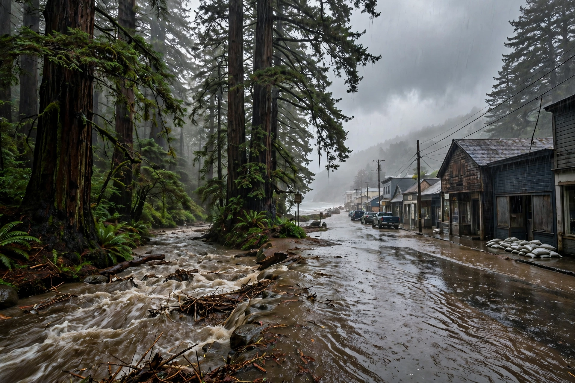
One Year Ago: Three Atmospheric Rivers in Four Days
November 3–6, 2025: three landfalls, 4 to 8 inches of rain across the Northwest ranges, a moderate flood on the Skokomish, and the anniversary lesson — the third storm is the dangerous one.
Published November 6, 2026 · WaterDamageEmergencyNow
What Happened One Year Ago This Week
Three atmospheric rivers made landfall on the US West Coast in four days, between Monday, November 3, and Thursday, November 6, 2025. The Center for Western Weather and Water Extremes (CW3E) at Scripps Institution of Oceanography summed the sequence up on November 10, 2025 — and a year later it is still the cleanest case study in how West Coast water damage actually arrives: not in one storm, but in a stack of them.
The first river made landfall early Monday, November 3, bringing weak atmospheric-river conditions to Oregon and northern California, then stalled over northern California.
The second, stronger river merged with the first and made landfall on the afternoon of Tuesday, November 4 — the strong system, with moisture transport above 750 kg/m/s, that this site wrote about on its anniversary last year.
The third river followed with no break in between and made landfall on the morning of Thursday, November 6 — one year ago today.
4 to 8 inches of total precipitation fell in portions of the Olympic Peninsula, the Washington Cascades, the Oregon Coast Ranges, the Klamath Mountains, the southern Cascades, and the Northern California Coast Ranges.
12 to 36 inches of snow fell in the higher terrain of the North Cascades from the second and third rivers.
Because the second and third rivers arrived back to back, coastal Oregon saw conditions rated AR 4 on the atmospheric-river scale — a rating driven as much by how long the rain lasted as by how hard it fell at any one hour.
Where the Water Actually Rose
CW3E's summary is honest about the outcome: the region generally avoided significant river flooding. But “generally” is not “everywhere,” and the exceptions are the homeowner story.
The Skokomish River near Potlatch, Washington, exceeded moderate flood stage — the one station in the summary to get that far — while several other western Washington stream gauges crested above action or monitor stage.
Landslides were reported in northern California during the second river, where rain ran off saturated and burn-sensitive ground instead of soaking in.
Coastal flooding ran from the Olympic Peninsula to the Bay Area, where strong onshore flow met astronomical high tides. The tide gauge at Point Chehalis in Westport, Washington, peaked at 3.15 feet above mean higher high water — past the threshold for major flooding.
Soils were the multiplier. The Weather Prediction Center's discussion on the morning of November 6, 2025, kept a marginal excessive-rainfall risk in place for northwestern California, far southwestern Oregon, and coastal northwest Washington for one plain reason: the ground was already saturated, and one more plume — forecast to add 1 to 2 inches on the northern California and southwest Oregon coasts that day — had nowhere left to go.
The Lesson the Anniversary Carries
1. The third storm is the dangerous one. A single atmospheric river is weather. Three in four days is a water damage event, because storm two and three land on ground that storm one already filled.
2. Watch gauges, not just forecasts. The Skokomish near Potlatch crossing moderate flood stage was a measured fact, not a model — the kind of number that should move belongings off a low floor the same day.
3. Tides turn rain into flooding. On the Washington and Oregon coasts, a river at high water meeting a king tide pushes water into streets and ground floors that rain alone would never reach — Westport's 3.15-foot tide reading is the proof.
4. Check the crawlspace after the sequence, not during it. Stacked storms hide water below the floor line for days. Extraction runs $3 to $7 per square foot and the measured national average water damage job is about $3,860 — cheap next to the mold and rot work that follows a missed week.
Sources for this article: CW3E (Scripps Institution of Oceanography, UC San Diego), “Quick Summary of Recent Atmospheric Rivers in the Pacific Northwest and Northern California,” updated November 10, 2025; National Weather Service Weather Prediction Center, Excessive Rainfall Discussion, November 6, 2025. Cost figures from Angi 2026 project data and this site's published service ranges. Prices are ranges, not quotes.
Questions, Answered Straight
How many atmospheric rivers hit the West Coast in November 2025?
Three atmospheric rivers made landfall between Monday, November 3, and Thursday, November 6, 2025, according to the Center for Western Weather and Water Extremes. The second and third arrived back to back with no break between them, which pushed coastal Oregon to an AR 4 rating on the atmospheric-river scale.
Did the November 2025 atmospheric rivers cause river flooding?
The region generally avoided significant riverine flooding, but the Skokomish River near Potlatch, Washington, exceeded moderate flood stage, several other western Washington gauges rose above action stage, landslides were reported in northern California, and coastal flooding reached major-flooding threshold at Westport, Washington, where the tide gauge peaked at 3.15 feet above mean higher high water.
Why does a second or third storm cause more water damage than the first?
Because the ground is already full. Once soils are saturated, new rain runs off into creeks, streets, and crawlspaces instead of soaking in, which is why the Weather Prediction Center kept a marginal excessive-rainfall risk in place on November 6, 2025, even for a weaker final storm.