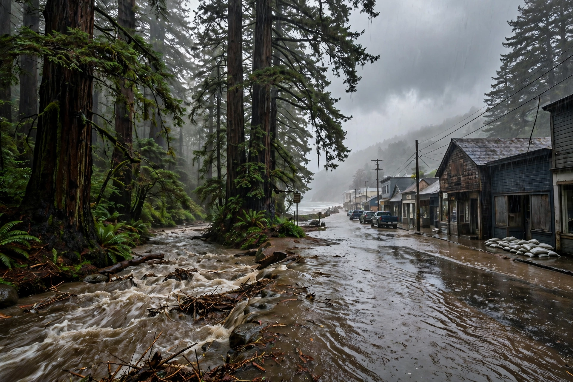
California's Storm Is Mobile's Normal
The atmospheric river reaching California this week drops the kind of rain Mobile's record book is built from. Here is Mobile's documented record, in the same units.
Published November 8, 2026 · WaterDamageEmergencyNow
The Storm California Is Watching This Week
A strong atmospheric river is forecast to reach the California coast this week, and the state's forecasters have been tracking it for days. The Center for Western Weather and Water Extremes flagged the system in a quick-look outlook issued late on November 7, 2025 — one year ago this weekend — showing better than 90 percent probability of a strong moisture plume reaching the California coast beginning early Wednesday, November 12, with the strongest conditions across northern and central California. The Weather Prediction Center's discussions that followed put widespread storm totals of 4 to 6 inches in 24 hours on the table for the country from Redding through Chico to east of Sacramento, with urban flooding around San Francisco during the morning commute on November 13.
- 4 to 6 inches in a day is a serious rain in California — enough, on saturated ground and near burn scars, for flash flooding, mudslides, and urban water damage across the state's biggest metro.
- The setup is the classic one: a slow-moving low southwest of the coast pulling a near-record November moisture plume into the state for days, the same shape as the Southern California storm that followed on November 14–17, when Santa Barbara County recorded its wettest November since 1889.
- It is the kind of storm Mobile, Alabama, keeps in its own record book — not as a once-a-century event, but as weather. That comparison is the rest of this article, and every Mobile number in it is from Mobile's documented record.
What the Comparison Actually Teaches
1. The damage is in the rate and the ground, not the headline total. Mobile's worst flash flood in this record came from 4.52 inches in one hour onto city streets. California's burn scars and steep canyons answer rain the same way Mobile's creek intersections do — fast.
2. Saturated ground is the multiplier on both coasts. The West Coast's November 2025 storms ran onto soils near 90 percent saturation, which is why forecasters warned that most of the rain would run off. Mobile homeowners know the Gulf version: the second storm of a wet month does the damage the first one only promised.
3. Rivers keep their own calendar. Frederic's and Sally's rain became river flooding that outlasted the storms by days — the same slow arithmetic playing out on Florida's St. Johns River this morning, a week after the rain that caused it.
4. Mobile's standing answer is speed. In a city where a 100-year rain has arrived four times in seventeen months, the local rule is the one on our
Mobile water damage page: extraction the same day, drying inside the 24-to-48-hour mold window, and documentation ready for the claim. It is also the subject of our guide to
the first hour after water damage in Mobile.
None of this makes California's storm small. A 4-to-6-inch day in the Bay Area is a water damage emergency for thousands of homes at once, and the crews there will work the same queue Mobile crews work after a Gulf storm: the homes whose owners called first, dried first. The point of Mobile's record is simpler — this weather has a known playbook, because one American city has been running it for a century.
Sources for this article: Center for Western Weather and Water Extremes (CW3E) atmospheric river quick-look outlook, issued late November 7, 2025 (greater than 90 percent probability of strong moisture transport reaching the California coast early November 12; strongest conditions northern and central California), and National Weather Service Weather Prediction Center discussions, November 12–13, 2025 (4 to 6 inch 24-hour totals, San Francisco urban flooding); U.S. Geological Survey, “Flood of May 5 and 6, 1981, Mobile, Alabama” (more than 12 inches in about nine hours); American Meteorological Society annual-meeting study of Mobile County flash flooding, 1997–98 (64-inch annual average; 135.51 inches in 17 months; Hurricane Danny 36.71 inches in southern Mobile County; Hurricane Georges over 15 inches at the Mobile office; 4.52 inches in one hour on May 28, 1997, with three drowning deaths at Twelve-mile Creek); National Hurricane Center, Hurricane Sally advisories, September 16, 2020 (10 to 20 inch storm totals, isolated 30 to 35 inches, Tallahassee to Mobile Bay); National Weather Service Mobile, Hurricane Frederic history page (September 12, 1979; 12–15 foot beach surge; 8–12 inches of rain Pascagoula to Mobile Bay).
Questions, Answered Straight
How much rain does Mobile, Alabama get in a year?About 64 inches on average, which makes Mobile one of the wettest major cities in the United States. In one exceptional 17-month stretch in 1997-98, 135.51 inches fell at the Mobile National Weather Service office, with at least four rain events exceeding 100-year return frequency.
What is the most rain Mobile has recorded in a single storm?Hurricane Danny in July 1997 dropped 36.71 inches over the southern end of Mobile County. Inside the city itself, the U.S. Geological Survey documented more than 12 inches falling in about nine hours on the night of May 5-6, 1981, causing widespread flooding, and Hurricane Frederic in 1979 brought 8 to 12 inches from Pascagoula to Mobile Bay.
Why compare a California atmospheric river to Mobile, Alabama?The storm type is the same on both coasts: a slow, moisture-loaded system dropping inches of rain onto ground that cannot take it. Mobile's documented record - 4.52 inches in one hour in 1997, four 100-year rains in 17 months - shows what that weather does to homes, creeks, and rivers, and why same-day water extraction matters wherever it lands.
Standing in Water Right Now?
Every hour raises the bill. Send the form and a coordinator calls you back within minutes — a real person, 24/7.
Water damage in your home? Send this form.
A local crew gets it and calls you back.