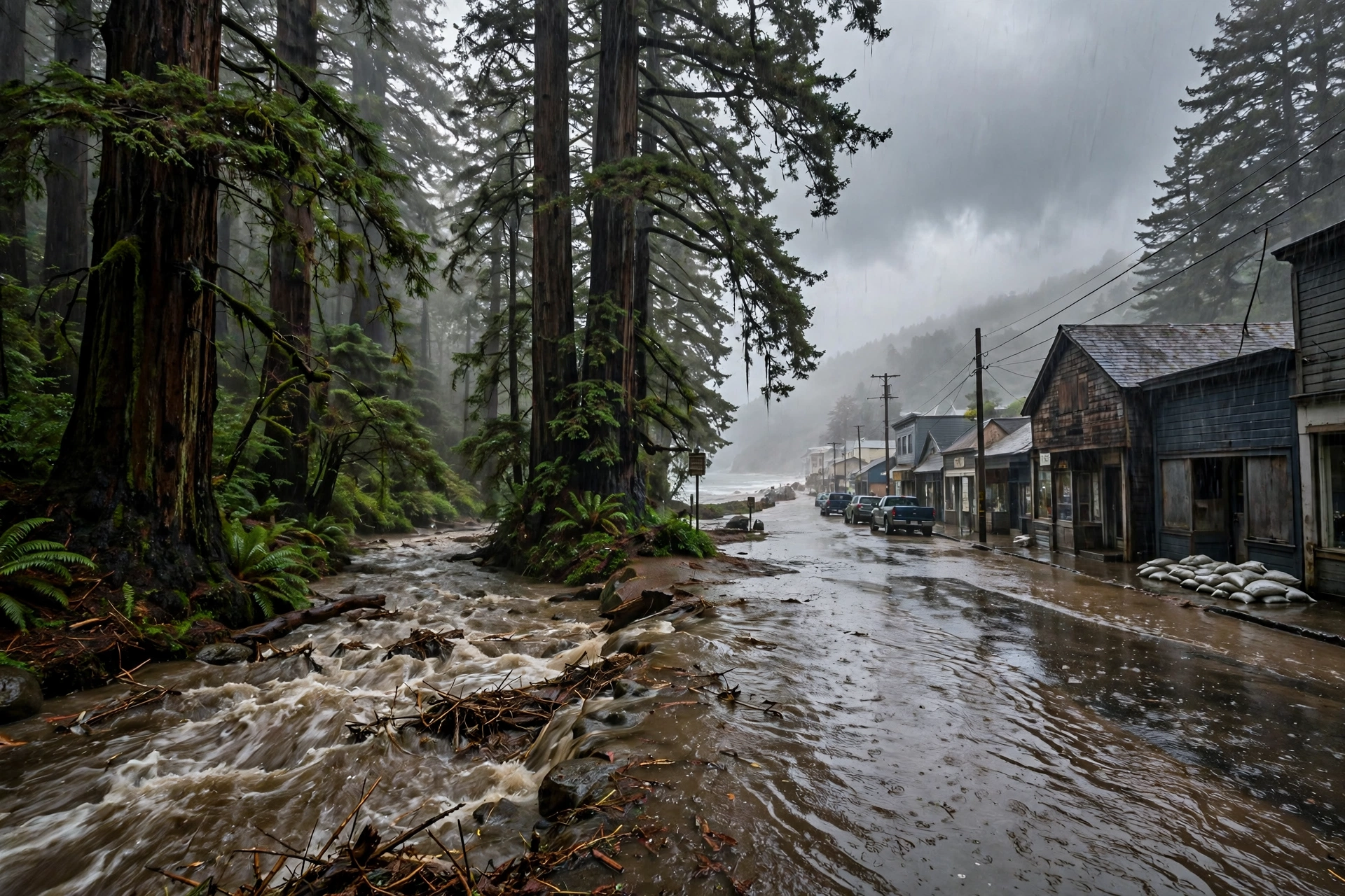
November 12, 2025: The Night the River in the Sky Came Ashore
The forecast board of November 11 became the landfall of November 12: AR 3, AR 4 in Marin, 4 to 8 inches, more than 120 flood reports — verified.
Published November 12, 2026 · WaterDamageEmergencyNow
November 12 in the Older Record: Two Landfalls and a Second Act
- 2020 — Eta's second Florida landfall. In the early hours of November 12, 2020, Tropical Storm Eta came ashore near Cedar Key, Florida, at about 4:20 a.m. Eastern by the Hurricane Center's best track, with maximum winds of 45 knots — the same storm that had regained hurricane intensity off Tampa Bay the day before, and that had already put 20.74 inches of rain on Pembroke Pines from its first Florida landfall in the Keys. November 12 is where Eta's long Florida week ended.
- 2009 — Ida's second act. On November 12, 2009, the remnants of the storm that had crossed Mobile Bay two days earlier were flooding the Mid-Atlantic as the nor'easter forecasters called Nor'Ida — 7 to 8 feet of water on the New Jersey coast, a 7.75-foot high-water mark at Norfolk. Today's Mobile feature tells that story from the Mobile end: November 12 in Mobile.
- 2022 — a caution we print rather than a claim we make. Nicole's water was still in the St. Johns River system in mid-November 2022 — the gauge at Astor, in flood continuously that fall, had hit 4.5 feet on November 10 and rose further after Nicole. But no November 12-dated primary record for Nicole was retrieved in this run's checking, so Nicole appears here as aftermath context only, not as a November 12 event.
1. The forecast verified. November 11, 2025's loaded board — a Marginal Risk, a burn-scar watch promise, a storm rated somewhere between AR 3 and AR 5 — became November 12's landfall and more than 120 flood reports. Yesterday's anniversary page printed the forecast; today's prints the verification.
2. The live map rhymes. This morning, November 12, 2026, Florida's St. Johns is in major flood with a weekend crest due, and the Pacific Northwest's next atmospheric river is due tomorrow on a forecast four days old. Read
Thursday's live update.
3. November 12 keeps both kinds of endings. Eta ended in Florida on this date in 2020; Ida refused to end on this date in 2009. The anniversary record is a record of storms, not of the calendar's convenience.
Sources for this article: National Weather Service Weather Prediction Center, Excessive Rainfall Discussion, November 12, 2025 (Day 1 Marginal Risk, northwestern California, vapor transport 800 to 1,000 kilograms per meter per second, 2 to 4 inches on orographically favored slopes, rates 0.50 to 0.75 inches per hour; Day 2 Slight Risk, northern and central California including the Bay Area, Central Valley, and Sierra Nevada, 2 to 4 inches with spotty 5 inches, elevated chances of exceeding 2-to-5-year rainfall return intervals around San Francisco, San Jose, and Sacramento; Day 3 Slight Risk introduced, Transverse Range, 2 to 3 or more inches); Center for Western Weather and Water Extremes, AR Update, November 12, 2025 (landfall that evening, vapor transport above 750 over Northern California, ensemble control ratings AR 5 and AR 3, broad 2 to 4 inches, 72-hour totals 2 to 5 inches in the coastal ranges) and Quick Summary, November 19, 2025 (landfall late Wednesday, November 12 as AR 3, AR 4 in coastal Marin with vapor transport above 1,000 for about 36 hours, 4 to 8 inches across the Sierra Nevada and Coast and Transverse Ranges, more than 10 inches in the western Transverse Ranges, more than 120 flood reports, more than 40 landslide reports); National Weather Service Weather Prediction Center, Mesoscale Precipitation Discussion 1221, November 13, 2025, 4:58 a.m. EST ("flash flooding likely"; urban flooding around San Francisco during and after the morning commute; totals of 3 to 5 inches through the evening across the discussion area) and Excessive Rainfall Discussion, November 13, 2025 (observed 2 to 3 or more inches in favored Sonoma, Mendocino, and Humboldt terrain by mid-afternoon; widespread 4 to 6 inch 24-hour totals expected from near Redding through Chico to east of Sacramento); National Hurricane Center, Tropical Cyclone Report, Hurricane Eta (second Florida landfall near Cedar Key about 0900 UTC, November 12, 2020, best track 0920 UTC, 45 knots; storm total 20.74 inches in Pembroke Pines); National Weather Service Morehead City, Nor'Ida event review, November 12–13, 2009. No November 12, 2022 primary record for Nicole was retrieved in this run's checking; Nicole is carried as aftermath context only.
Questions, Answered Straight
What happened on November 12, 2025 in California?A strong atmospheric river made landfall over Northern California late on Wednesday, November 12, 2025. The Center for Western Weather and Water Extremes' summary rated it AR 3 overall and AR 4 over coastal Marin County, with 4 to 8 inches of rain across the Sierra Nevada and the Coast and Transverse Ranges, more than 10 inches in the western Transverse Ranges, more than 120 flood reports, and more than 40 landslide reports across California.
Did forecasters see the November 12, 2025 storm coming?Yes, in writing, a day ahead. On November 11, 2025 the Weather Prediction Center posted a Marginal Risk for California for Wednesday and Thursday and the Los Angeles office forecast a moderate-to-strong storm with a Flood Watch likely for burn scars. On November 12 itself, the Center's discussion carried vapor transport of 800 to 1,000 kilograms per meter per second, 2 to 4 inches on favored slopes, and introduced a Slight Risk for Thursday across northern and central California and for Friday in the Transverse Range.
What else happened on November 12 in the water record?Two storm endings - and one refusal to end. Tropical Storm Eta made its second Florida landfall near Cedar Key in the early hours of November 12, 2020, closing a week that had flooded both Florida coasts. And on November 12, 2009, the remnants of Ida - which had crossed Mobile Bay on November 10 - were flooding the Mid-Atlantic as Nor'Ida, with 7 to 8 feet of water on the New Jersey coast.