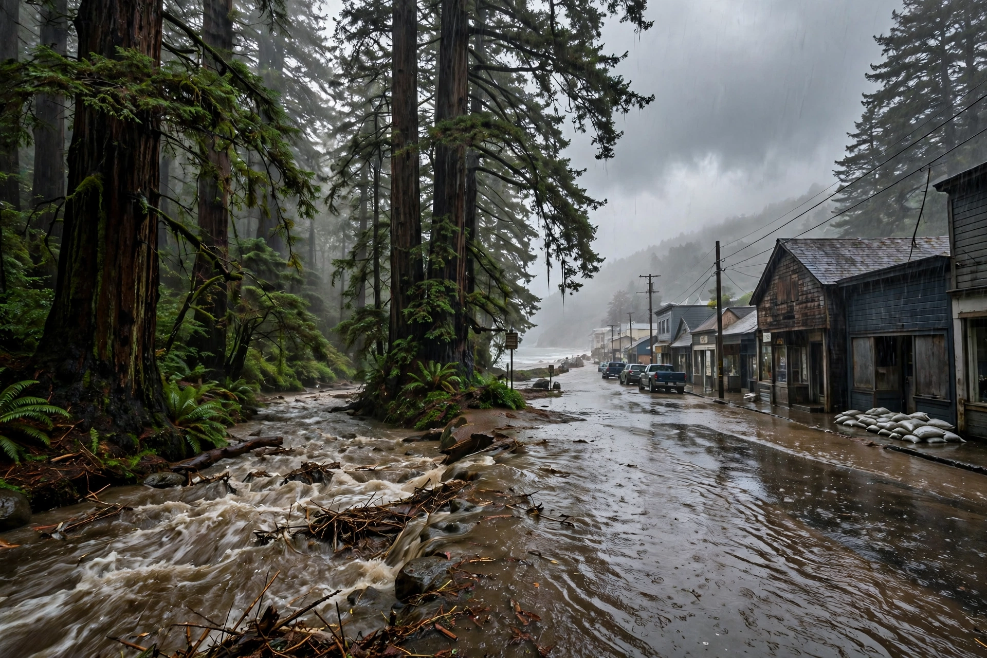
November 14, 2025: Southern California's Storm Arrived at Record Pace
A 72-year-old daily record at Santa Barbara, evacuation orders on the burn scars, and a correction about which day carried the Moderate risk — day one of the storm's southern half.
Published November 14, 2026 · WaterDamageEmergencyNow
Water damage in your home? Send this form.
A local crew gets it and calls you back.
A Daily Record Before the Storm Even Peaked
One year ago today, the southern half of California's atmospheric-river week arrived — and Santa Barbara's airport gauge rewrote a 72-year-old line before the storm's biggest day. On Friday, November 14, 2025, Santa Barbara Airport recorded 2.42 inches of rain, a daily record for the date that broke the 2.17 inches set in 1953 (National Weather Service Los Angeles, in its December 2, 2025 storm summary). The storm was the same system whose northern half had put San Francisco's commute inside a flash-flood discussion the morning before — now centred on the Los Angeles Basin, the burn scars, and the south-facing slopes of the Transverse Ranges.
The risk on the day, stated exactly: the Weather Prediction Center carried a Slight Risk of excessive rainfall over Southern California on Friday, November 14. The Moderate, Level 3-of-4 risk that this storm is often remembered by belongs to Saturday, November 15 — we print the correction here because the bank entry we worked from had the Moderate risk opening a day early, and the primary outlooks say otherwise.
The watches were real and wide: flood watches covered Los Angeles, Santa Barbara, and Ventura counties as the plume came onshore — the setup forecasters had been flagging since the storm was still a Pacific forecast on November 11.
The burn scars were the emergency inside the storm. Evacuation orders went out for vulnerable properties around the Palisades, Hurst, and Sunset fire scars — 126 Palisades homes under orders, a figure the Los Angeles Police Department's chief put on the record at the time (reported by MyNewsLA, November 15, 2025; we carry it attributed, as a single reporting chain).
What Friday Set Up: The Wettest November in Santa Barbara's Record
November 14 was day one of a two-day storm, and the month it landed in became a record. The next day, November 15, Santa Barbara Airport recorded 2.90 inches — a second daily record in two days. The month closed at 8.90 inches at the airport, the wettest November there since records began in 1941, and San Marcos Pass, in the mountains above the city, totalled 16.32 inches for the month (National Weather Service Los Angeles, December 2, 2025 summary). Downtown Los Angeles finished November at 5.53 inches, its fifth-wettest November since 1877.
Why a "Slight Risk" day still floods homes: the risk category grades the chance of flash flooding across a region, not the water in one street. On saturated ground above burn scars — where fire has stripped the soil's ability to absorb rain — an ordinary storm total becomes a debris-flow and mud problem at rates well under an inch an hour.
The northern half of the same week, for the record: upstate, the Sacramento office's November 14 summary recorded 2.03 inches at Oroville. An early bank entry on this site paired that 2.03-inch figure with Santa Rosa and added a Sacramento figure we could not verify; both are withdrawn — Oroville is the sourced reading, and it is the one we print.
The homeowner's version of this anniversary: Southern California's flood season is not a season — it is a handful of November-to-March days when a year's drainage assumptions get tested at once. The houses that bill hardest after a storm like this one are the ones downhill of a scar, behind a blocked drain, or below a slope that moved.
Yesterday this page carried the northern half of this storm — the flash-flood discussion over San Francisco's commute. November 14 is the same river in the sky, one day south.
Why This Page Is Geotagged to California
This is California's second article on this site, published on the anniversary the record supplied. California entered our coverage yesterday with no prior content, first in line under the rule that a state with no coverage goes first when a qualifying event exists there. A sourced, full-strength storm — a daily rainfall record, evacuation orders on burn scars, a record-wet month — is exactly that event, two days running.
Sources for this article: National Weather Service Los Angeles, Public Information Statement, December 2, 2025 (Santa Barbara Airport 2.42 inches on November 14, 2025, a daily record breaking 2.17 inches from 1953; 2.90 inches on November 15; November total 8.90 inches, the wettest November since 1941; San Marcos Pass 16.32 inches for the month; downtown Los Angeles 5.53 inches, fifth-wettest November since 1877); National Weather Service Weather Prediction Center excessive-rainfall outlooks, November 14–15, 2025 (Slight Risk Friday, Moderate Risk Saturday — the Moderate-on-Friday framing in our earlier bank entry is corrected here); flood watches for Los Angeles, Santa Barbara, and Ventura counties, November 14, 2025; MyNewsLA, November 15, 2025 (evacuation orders for Palisades, Hurst, and Sunset scar properties; 126 Palisades homes, attributed to the Los Angeles police chief — carried as a single reporting chain); National Weather Service Sacramento, Public Information Statement, November 14, 2025 (2.03 inches at Oroville).
Questions, Answered Straight
What happened in Southern California on November 14, 2025?
The southern half of an atmospheric-river storm arrived over Southern California. Santa Barbara Airport recorded 2.42 inches of rain, a daily record for November 14 that broke the 2.17 inches set in 1953. Flood watches covered Los Angeles, Santa Barbara, and Ventura counties, and evacuation orders went out for vulnerable properties around the Palisades, Hurst, and Sunset burn scars. The Weather Prediction Center carried a Slight Risk of excessive rainfall that Friday; the Moderate, Level 3-of-4 risk came on Saturday, November 15.
How wet was November 2025 in Santa Barbara?
The wettest November on record there. Santa Barbara Airport totalled 8.90 inches for the month — the most since records began in 1941 — including daily records of 2.42 inches on November 14 and 2.90 inches on November 15, 2025. San Marcos Pass, above the city, totalled 16.32 inches for the month (National Weather Service Los Angeles).
Why do burn scars flood in ordinary rain?
Fire strips vegetation and bakes the soil surface so it sheds water instead of absorbing it. Rain that intact ground would soak up runs off a scar at once, carrying ash, mud, and debris downhill — which is why forecasters order evacuations around recent scars at rainfall rates that would be unremarkable on unburned ground.