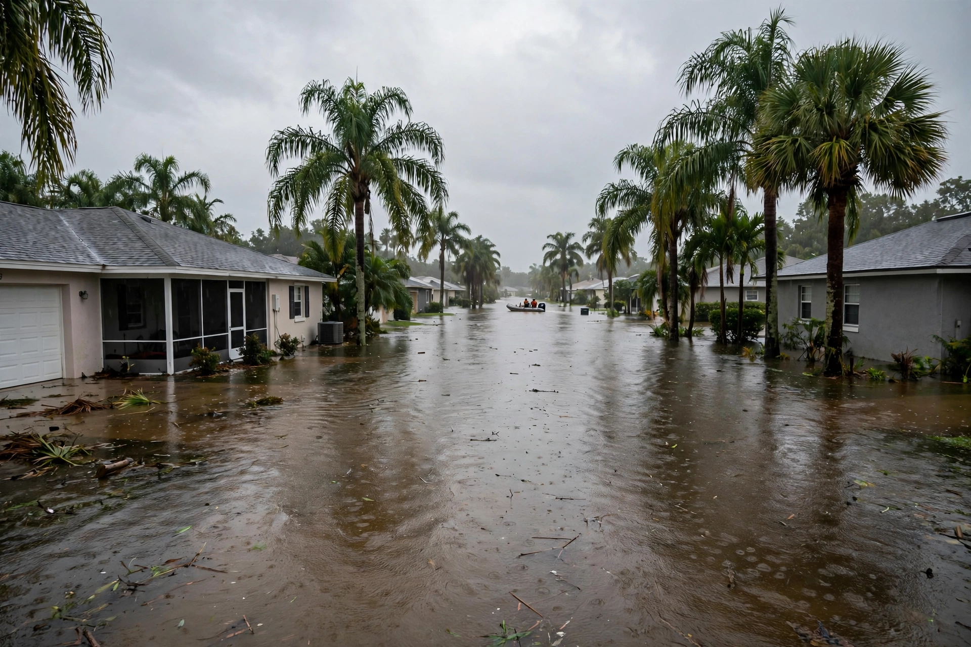
November 8 in Florida Water History: Nicole's Warning and Eta's Landfall
One year ago today was quiet. Four and six years ago today, November 8 put Florida under tropical warnings — and in 2022, the warning named the river that is flooding this morning.
Published November 8, 2026 · WaterDamageEmergencyNow
Water damage in your home? Send this form.
A local crew gets it and calls you back.
First, the Honest Part: One Year Ago Today Was Quiet
November 8, 2025 brought no flood emergency anywhere in the United States. Both of the National Weather Service Weather Prediction Center's excessive-rainfall discussions that Saturday — at 2:44 a.m. and again at 10:58 a.m. EST — put the probability of rainfall exceeding flash-flood guidance at less than 5 percent for every part of the country, three days out. The stormy West Coast week of November 3–7 had wound down, Tennessee's training thunderstorms on the evening of November 7 ran below flash-flood guidance, and the nation sat in a four-day lull before the California storm of November 12–15.
So the anniversary that matters today is the date itself. November 8 has a Florida water history — twice in three years — and both times it pointed at the same river that is flooding this morning.
November 8, 2022: Nicole's Hurricane Warning Named the St. Johns River
- The warning came at 10:00 a.m. EST on Tuesday, November 8, 2022. The National Hurricane Center's Advisory 6 for Tropical Storm Nicole issued a Hurricane Warning for portions of Florida's east coast and a Storm Surge Warning from North Palm Beach, Florida, to Altamaha Sound, Georgia — explicitly including the St. Johns River up to the Fuller Warren Bridge in Jacksonville.
- The forecast numbers: storm surge of 3 to 5 feet in the warned zone, rainfall of 3 to 5 inches with local maxima of 7 inches across eastern, central, and northern Florida — and, in the advisory's own framing, renewed river rises on the St. Johns River, which was still at moderate flood stage from Hurricane Ian six weeks earlier.
- What it became: Nicole strengthened and made landfall as a Category 1 hurricane near Vero Beach at about 3 a.m. EST on November 10, 2022. The Hurricane Center's final report records 3 to 6 inches of rain across the Florida Peninsula, a maximum storm total of 7.11 inches near Orlando, and a St. Johns River measurement of 3.82 feet above mean higher high water at the I-295 Buckman Bridge.
- The mechanism is this week's mechanism. Rain falling on a river that has not finished draining the last storm is what turned Nicole from a modest hurricane into a river-flood event — and it is exactly what Brevard County's November 1–2 record rain is doing to the St. Johns at Cocoa today, where the river is forecast to crest at 17.1 feet by midweek.
November 8, 2020: Eta Came Ashore in the Keys at Night
- Landfall: Tropical Storm Eta made its first United States landfall at Lower Matecumbe Key in the Florida Keys on Sunday night, November 8, 2020, around 11 p.m. EST — the record-breaking 12th U.S. landfall of the 2020 season and Florida's first November landfall in 22 years.
- The forecast that night: the Hurricane Center's 10 p.m. advisory carried the headline “Eta bringing heavy rainfall and life-threatening flash flooding to portions of southeastern Florida,” with storm totals of 6 to 12 inches and isolated maxima of 18 inches for the central and southern peninsula including the Keys.
- What fell: Broward County picked up 15 to 20 inches from Eta, with about 16 inches at Miramar, 14.2 inches at Hollywood, and 13 inches at Pembroke Pines; Fort Lauderdale recorded 5.93 inches on November 8 alone. Roads flooded across Broward and Miami-Dade that night and again the next morning.
The November lesson, twice taught. Florida's water season does not end with October. In 2020 and again in 2022, November 8 was the day a tropical system put Florida under warnings — and in 2022 the warning named the St. Johns River outright.
Warning time is working time. Both storms gave Florida days of warning. What those days are worth, in dollars, is laid out in
today's cost guide.
Sources for this article: National Weather Service Weather Prediction Center, Excessive Rainfall Discussions, November 8, 2025 (2:44 a.m. and 10:58 a.m. EST, less-than-5-percent flash-flood probability nationwide) and November 7, 2025 (Tennessee training thunderstorms, 1 to 1.5 inches per hour, below flash-flood guidance); National Hurricane Center, Tropical Storm Nicole Advisory 6, November 8, 2022, and Hurricane Nicole Tropical Cyclone Report (March 17, 2023); National Hurricane Center, Tropical Storm Eta Advisory 35, November 8, 2020; The Weather Channel, Eta landfall report, November 2020.
Questions, Answered Straight
Was there a flood in the United States on November 8, 2025?No. The National Weather Service Weather Prediction Center's excessive-rainfall discussions on November 8, 2025 put the probability of rainfall exceeding flash-flood guidance at less than 5 percent everywhere in the country. The date's flood history comes from other years: Hurricane Nicole's warnings in 2022 and Tropical Storm Eta's Florida Keys landfall in 2020.
What did Hurricane Nicole's November 8, 2022 warning say about the St. Johns River?The National Hurricane Center's Advisory 6 on November 8, 2022 placed the St. Johns River inside a Storm Surge Warning zone expecting 3 to 5 feet of surge, forecast 3 to 5 inches of rain with local maxima of 7 inches, and expected renewed rises on a St. Johns River that was still in moderate flood from Hurricane Ian.
How much rain did Tropical Storm Eta drop on South Florida on November 8, 2020?Eta made landfall at Lower Matecumbe Key around 11 p.m. EST on November 8, 2020. Broward County received 15 to 20 inches in total, including about 16 inches at Miramar and 14.2 inches at Hollywood; Fort Lauderdale recorded 5.93 inches on November 8 alone.
Standing in Water Right Now?
Every hour raises the bill. Send the form and a coordinator calls you back within minutes — a real person, 24/7.
Water damage in your home? Send this form.
A local crew gets it and calls you back.