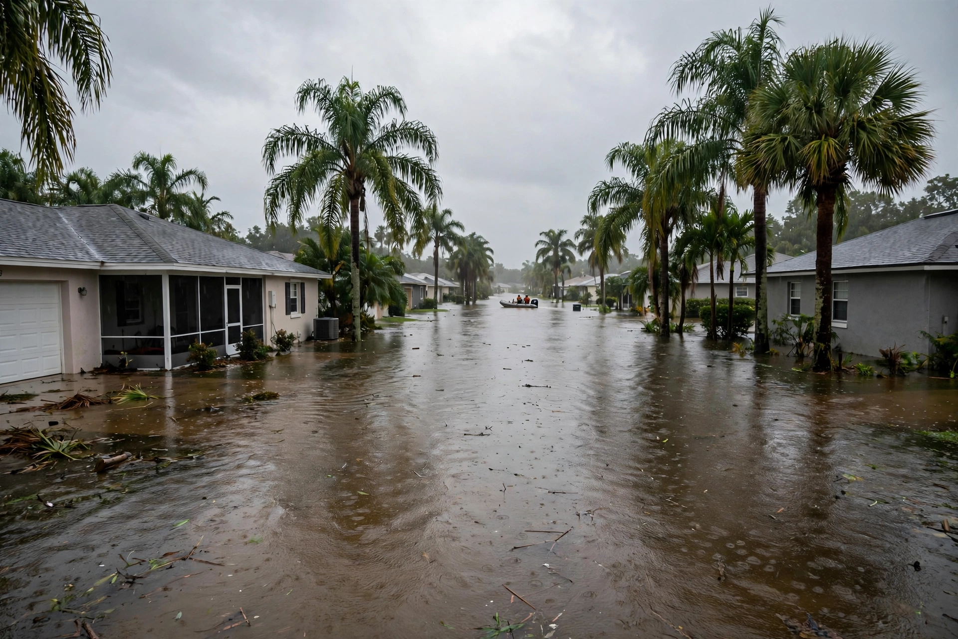
Friday on the St. Johns: The Crest Weekend Opens
November 13, 2026: Cocoa holds at 17.1 feet, two crossings are due today, the Peace River is out, a new river in the sky is in, and the first freeze reaches inland tonight.
Published November 13, 2026 · WaterDamageEmergencyNow
The Rest of the Country's Water, Friday
- McCaysville, day nine: the curfew is lifted. Reporting dated Thursday, November 12 — found this run — says Police Chief Michael Earley lifted the curfew imposed after the November 5 flood, exactly one week on, and Blue Ridge Drive into Tennessee reopened Thursday at 6 p.m. The boil-water advisory remains in effect and the water system is still under repair. On the governor's emergency, which expired Thursday at 11:59 p.m.: no renewal or lapse announcement was found in this run's searches, and we state that as not found rather than guess either way.
- Inland Alabama and Mississippi: the first freeze of the season is tonight. The weather service in Mobile's Friday morning discussion expects a light freeze early Saturday and Sunday mornings across the northern portion of its area, with a Freeze Watch in effect from late tonight through Saturday morning for the inland Alabama counties and Wayne County, Mississippi — the Highway 84 corridor that has been in this page's sights since Tuesday. Mobile itself stays above freezing. What a freeze night can bill a homeowner is priced in today's cost guide.
- Texas and Arizona hold their forecasts: the Nueces River near Tilden is still forecast to crest at 15.0 feet Monday morning under the warning issued Thursday, and the Gila River dam-release warning below Painted Rock Dam runs to Tuesday morning with releases peaking at 3,000 cubic feet per second. Both are forecasts and releases, not new flooding, and are labelled so.
1. Lake Poinsett and Cocoa: this is the weekend. The crest the week has counted toward arrives Saturday to Sunday on the standing forecast. Doors, thresholds, and the lowest rooms are today's work, not tomorrow's.
2. Sanford and DeLand: watch the noon and evening statements. Both crossings are forecast for today. The statements, not this page, will say whether the river kept the appointment.
3. Highway 84: tonight is the first test. Insulate what is exposed, disconnect the hoses, and know the shut-off before dark — the thaw-and-cleanup arithmetic is in the cost guide linked above.
Sources for this article: National Weather Service Melbourne flood statement, Thursday, November 12, 2026, 8:35 p.m. EST (St. Johns River near Cocoa: 17.1 feet at 8:15 p.m., major flooding, forecast to slowly rise to 17.2 feet this weekend, warning until further notice, next statement Friday at noon EST; the 17.2-foot impact statement) and Thursday morning statements for Geneva, Sanford, DeLand, and Astor (crossings forecast for Friday at Sanford and DeLand — framed as forecast); U.S. Geological Survey gauge 02232400 as carried by the gauge's data feed, November 13, 2026 (17.09 feet, holding steady); National Weather Service Tampa Bay flood statement, November 12, 2026, 7:54 p.m. EST (Peace River at Arcadia: 11.3 feet at 7:30 p.m., forecast below flood stage late Thursday night, 6.7 feet Tuesday evening, warning until Friday morning); Center for Western Weather and Water Extremes, AR Outlook, November 12, 2026 (second atmospheric river onshore early Friday, November 13; third late Saturday; 90 to 100 percent probability of AR conditions through Monday; Weather Prediction Center precipitation 4 to 7 inches Olympic Peninsula, Klamath Mountains, Northern Sierra Nevada) — this outlook's existence corrects this page's November 10–12 reports that none newer than November 9 could be found; Oregon Statesman Journal and Register-Guard reporting, November 12, 2026 (main axis dipping south; Willamette Valley 0.25 to 0.75 inches, coast and Cascades 0.75 to 1.5 inches through the weekend); National Weather Service Mobile, Area Forecast Discussion, Friday, November 13, 2026, 5:49 a.m. CST (light freeze expected early Saturday and Sunday mornings across the northern portion of the area; Freeze Watch from late tonight through Saturday morning for inland Alabama zones and Wayne County, Mississippi); The Atlanta Focal, November 12, 2026 (McCaysville curfew lifted Thursday; Blue Ridge Drive reopened Thursday 6 p.m.; boil-water advisory remains). No renewal or lapse announcement for the Georgia emergency was found in this run's searches. River stages are gauge readings and forecasts change; the weather service's current warning is the controlling word.
Questions, Answered Straight
What is the St. Johns River near Cocoa doing on Friday, November 13, 2026?Holding at the edge of the home-entry line as the crest weekend opens. The National Weather Service Melbourne's Thursday evening statement put the St. Johns River near Cocoa at 17.1 feet in major flooding, forecast to slowly rise to 17.2 feet this weekend; the federal gauge read 17.09 feet Friday morning, holding steady. At 17.2 feet, water enters homes in the Lake Poinsett area west of Cocoa and in Rockledge's Silver Pines subdivision and Cocoa's Shakespeare Park area.
Is the Peace River at Arcadia still flooding on November 13, 2026?It fell out of flood stage on the forecast schedule. Thursday evening the Peace River at Arcadia read 11.3 feet, and the National Weather Service Tampa Bay forecast the fall below its 11.0-foot flood stage late Thursday night, continuing down to 6.7 feet by Tuesday evening. The flood warning ran until Friday morning, November 13.
Is an atmospheric river arriving on the West Coast on November 13, 2026?Yes, on a fresh outlook this page had previously reported missing. The Center for Western Weather and Water Extremes' November 12, 2026 outlook has a second, moderate atmospheric river moving onshore early Friday, November 13, with a 90 to 100 percent probability of atmospheric-river conditions along the Pacific Northwest and northern California coasts through Monday, and Weather Prediction Center precipitation of 4 to 7 inches over the Olympic Peninsula, Klamath Mountains, and Northern Sierra Nevada. Oregon's local forecasters expect the main axis to dip south, with lighter totals in the Willamette Valley.