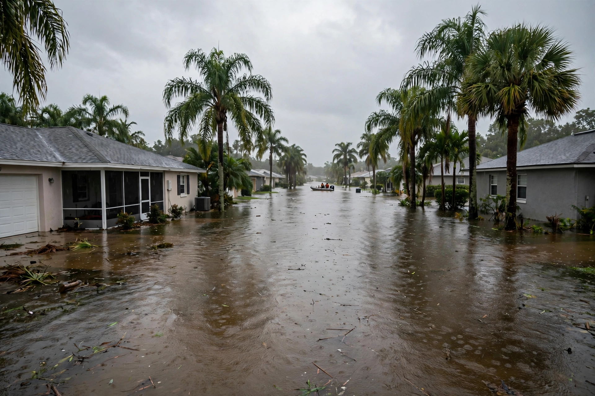
The Rest of the Country's Water, Sunday
- Texas: the Nueces crest moved again — later and a tenth lower. Saturday evening's Corpus Christi statement (7:02 p.m. CST) read the Nueces River near Tilden at 13.6 feet, against a 14.0-foot flood stage, and now forecasts a rise above flood stage late Saturday evening to a crest of 14.9 feet Sunday evening, falling below flood stage Monday. Friday's call — 15.0 feet early Sunday afternoon — is superseded on both timing and height, and this page prints the new one. At 15.0 feet, much of the flood plain below Cotulla to below Tilden is cut off as sloughs and channels fill; the forecast crest now sits a tenth under that line.
- Mobile: freeze night two ran to 8 a.m., and the map edge held. The Freeze Warning for the inland zones north of Highway 84 (ALZ051–058) ran until 8 a.m. Sunday with temperatures as low as 29 to 32 degrees; the Frost Advisory covered the rest of the area, Mobile included, at 33 to 37 degrees. Saturday night's Mobile discussion (11:34 p.m. CST) put Mobile city's low at 36 degrees — above freezing, as forecast all week — with lower 30s well inland and around 40 at the coast, and a possible light freeze again Sunday and Monday nights on the northern periphery. The thaw is when a split pipe announces itself; what that second bill runs is priced in today's cost guide.
- The Northwest: the third river is onshore. The western weather center's November 12 outlook — still the freshest in the record — brought a third atmospheric river onto the Northwest coast late Saturday, running through Monday, with maximum AR 4 conditions on the Washington and Oregon coasts and a 90 to 100 percent probability of atmospheric-river conditions through Monday. The Weather Prediction Center's excessive-rainfall grade for the weekend stayed calibrated: a Marginal risk over northwest Washington and the Olympics, 1 to 3 inches in the 24 hours ending early Sunday, on ground the first two rivers already wet.
- McCaysville, day eleven: no new word is the word. No November 15-dated update was found before this report closed. The last dated record stands: the boil-water advisory remains in effect while the water system is repaired, the curfew lifted Thursday, Blue Ridge Drive reopened, and Georgia's renewed emergency for Fannin, Gilmer, Murray, and Union counties runs through 11:59 p.m. Thursday, November 19. We print the absence as an absence, not as an all-clear.
- Arizona holds: the Gila River dam-release flood warning below Painted Rock Dam remains in effect until 11 a.m. Mountain Tuesday, releases peaking at 3,000 cubic feet per second — unchanged since Friday's statement.
1. Lake Poinsett and Cocoa: a second week at major flood. Steady is not over. Ground, lowest rooms, and road edges that have sat at flood stage since November 9 stay saturated, and the drying clock for homes that took water early is already in its second week.
2. Inland Alabama: check the pipes at the thaw. Two freeze nights are the classic setup for the burst that shows itself as temperatures rise — a wet spot, a hissing wall, a meter that spins with every tap closed.
3. The Northwest: Sunday's statements will grade the third river. Marginal was the call; the gauges decide what it did.
Sources for this article: National Weather Service Melbourne flood statements, Sunday, November 15, 2026, 9:19 a.m. EST (St. Johns River near Cocoa: 17.0 feet at 8:15 a.m., 24-hour maximum 17.1 feet, major flooding, crest of 17.1 feet forecast this afternoon, steady with slight deviations through at least midweek, warning until further notice) and 9:24 a.m. EST (above Lake Harney near Geneva: moderate flooding, nearly steady this week; 9.0-foot impact line) and Saturday, November 14, 7:47 p.m. EST (Astor: 2.6 feet, minor flooding) and Saturday hydrologic statement, 9:47 a.m. EST (Sanford 5.4 feet, DeLand 3.8 feet, nearly steady); National Weather Service Corpus Christi flood statement, Saturday, November 14, 2026, 7:02 p.m. CST (Nueces River near Tilden: 13.6 feet at 6:30 p.m., flood stage 14.0 feet, crest 14.9 feet forecast Sunday evening — superseding Friday's 15.0-foot early-Sunday-afternoon call); National Weather Service Mobile non-precipitation warning, Saturday, November 14, 9:28 a.m. CST (Freeze Warning until 8 a.m. Sunday for ALZ051–058, lows 29–32; Frost Advisory 33–37) and Area Forecast Discussion, Saturday, November 14, 11:34 p.m. CST (Mobile low 36; lower 30s inland to around 40 at the coast; possible light freeze Sunday and Monday nights on the northern periphery); Center for Western Weather and Water Extremes AR Outlook, November 12, 2026 (third river late Saturday through Monday; no newer outlook exists in the record) and Weather Prediction Center excessive-rainfall outlook (Marginal risk, northwest Washington/Olympics, 1–3 inches); Georgia executive order 11.12.26.03 and November 12 reporting for McCaysville (no November 15-dated update found); National Weather Service Phoenix Painted Rock Dam release warning (to Tuesday 11 a.m. MST, releases peaking 3,000 cfs). River stages are gauge readings and forecasts change; the weather service's current warning is the controlling word.