The Rest of the Country's Water, Tuesday
- Texas: the Nueces did not fall — the second expected ending that did not arrive. Yesterday's page carried the forecast that the Nueces River near Tilden would fall below flood stage Tuesday morning. Monday evening's Corpus Christi statement (7:31 p.m. Central) superseded it: the river stood at 16.0 feet at 6:30 p.m. Monday — two feet above its 14.0-foot flood stage — the warning is extended to Wednesday evening, and the fall below flood stage is now forecast for early Wednesday morning, through 14.9 feet on Tuesday. At Cotulla, Tuesday morning read 12.3 feet against a 15.0-foot flood stage: notable, below flood, and a different gauge — the two are not merged here.
- Arizona: the Gila warning did not expire either. It was extended a full week. The Painted Rock Dam release warning was due to end at 11 a.m. Mountain Tuesday. At 8:21 a.m. Tuesday, the Phoenix office extended it to 11 a.m. Mountain on Tuesday, November 24: releases continue, peaking around 3,000 cubic feet per second, with the gauge below the dam near 10 feet, and low-water crossings along the Gila likely inundated (National Weather Service Phoenix, November 17, 2026).
- McCaysville, day thirteen: still no all-clear, and the newest word is Monday's. No November 17-dated update was found in today's sweep. Monday's reporting has crews finishing debris clearing, roads open, volunteers still needed — and the boil-water advisory still in effect, with officials hopeful some orders can lift sometime this week (FOX 5 Atlanta, November 16, 2026). Georgia's emergency for Fannin, Gilmer, Murray, and Union counties runs through 11:59 p.m. Thursday, November 19. Hopeful is not lifted; we print it as it stands.
- California, live: a new atmospheric river makes landfall late Tuesday into Thursday, ranked AR 1 on the coastal scale, with a Slight Risk of excessive rainfall across much of coastal California Wednesday through Friday — 1 to 3 inches for the Los Angeles area, 2 to 5 on the south-facing slopes (western weather center outlook, November 16, 2026; National Weather Service). One year to the day after the second storm of 2025, the coast loads again — that anniversary is today's other article.
- Mobile: no flood watch, warning, or advisory — a dry day in the upper 60s. The coast's only water hazards are a high rip current risk and a high surf advisory through Thursday night. Mobile has no live water angle today, and none is invented.
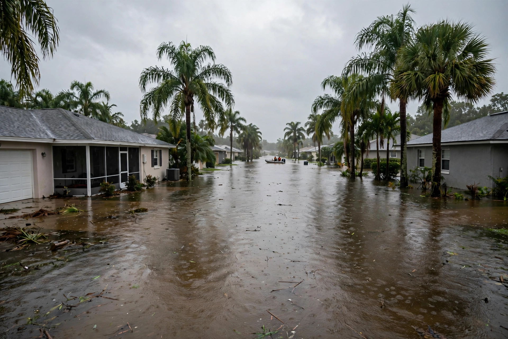
1. Cocoa: Friday 1 a.m. is now the hour on the board. The river has sat a tenth under the home-entry line for over a week. The forecast now puts it on the line, on new rain, early Friday — if the watch verifies.
2. Two rivers taught the same lesson this week: a forecast ending is not an ending. The Nueces and the Gila both outlasted their printed expirations. In a flood's second week, the drying and repair bills keep running on the same clock — which is why today's cost guide separates the two bills before a homeowner signs either.
Sources for this article: National Weather Service Melbourne flood statements, Tuesday, November 17, 2026 (Cocoa 17.1 feet at 8:15 a.m., warning until further notice, statement of 9:21 a.m.; above Lake Harney 9.0 feet at 8:30 a.m., forecast 9.0–9.2 feet; Astor 2.7 feet, forecast 3.4 feet Sunday) and hydrologic statement of 9:29 a.m. (Sanford 5.4 feet, DeLand 3.8 feet, minor flood forecast by the weekend); river forecast for Cocoa (17.1 feet through Thursday, 17.2 feet by 1 a.m. Friday) reported Tuesday by Florida Today from the national river forecast system; National Weather Service Melbourne Flood Watch, issued Monday, November 16, 2026 (5 p.m. Tuesday to 7 p.m. Friday; 3 to 6 inches, localized 8 to 12 inches) — superseding the forecast-discussion figures carried in Monday's article; National Weather Service Corpus Christi flood statement, Monday, November 16, 2026, 7:31 p.m. CST (Nueces near Tilden 16.0 feet at 6:30 p.m., warning extended to Wednesday evening, below flood stage early Wednesday) and hydrologic statement, Tuesday, November 17, 2026, 8:29 a.m. CST (Cotulla 12.3 feet); National Weather Service Phoenix flood warning extension, Tuesday, November 17, 2026, 8:21 a.m. MST (Gila River below Painted Rock Dam, extended to 11 a.m. MST Tuesday, November 24; releases peaking around 3,000 cfs); FOX 5 Atlanta, November 16, 2026 (McCaysville cleanup and boil-water status; no November 17-dated update found); western weather center atmospheric river outlook, November 16, 2026; National Weather Service Mobile surf zone forecast, November 17, 2026. River stages are gauge readings and forecasts change; the weather service's current warning is the controlling word.