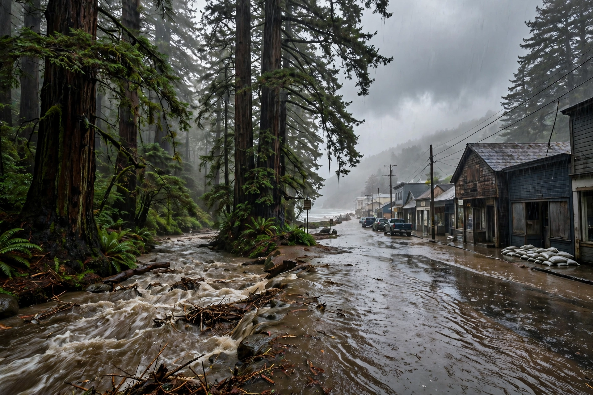
One Year Ago Today: The Skokomish River Was Still in Flood
November 7, 2025: day three of Mason County's flood — the watch had come on November 4, the river rose on the 6th, and on the 7th the warning was still up.
Published November 7, 2026 · WaterDamageEmergencyNow
Water damage in your home? Send this form.
A local crew gets it and calls you back.
One Year Ago Today, the Warning Was Still Up
On the morning of Friday, November 7, 2025, the Skokomish River at Potlatch, in Mason County, Washington, was still under a flood warning — and its impacts had been raised to moderate flooding. The national emergency-management morning brief for that day led its Washington news with the river: deep, fast water was inundating parts of the Skokomish Valley, including Skokomish Valley Road, Bourgault Road, West Purdy Cutoff Road, and sections of Highway 106.
The watch came first. The National Weather Service in Seattle issued a Flood Watch for Mason County from Thursday afternoon, November 6, through Saturday morning, November 8, 2025, warning that persistent rain could push the Skokomish above flood stage by late Thursday.
The rain was measured before it fell. The weather service's November 4 forecast discussion put rainfall at 2.5 to 4 inches, with locally higher amounts, on the southern slopes of the Olympic Mountains from Wednesday night through Friday morning — and noted the river was already near action stage before that main rain arrived.
Tides made it worse. Higher astronomical tides on Wednesday and Thursday, November 5 and 6, were expected to worsen coastal flooding and beach erosion while the river was rising — the same week NOAA's high-tide outlook flagged likely tide-only flooding around the November 5 full moon for harbors from Boston to Charleston.
It was day three of a stacked sequence. Rain had run from Tuesday night, November 3 onward — the same three-atmospheric-rivers-in-four-days sequence this site covered on its anniversary yesterday. By Friday the 7th, the story was no longer the storm. It was the river, still up.
Why a Small River Teaches a Big Lesson
The Skokomish is one of the most flood-prone rivers in western Washington, dropping off the southern Olympics into Hood Canal past Potlatch and Shelton. Its floods are rarely a surprise — they are forecast days ahead, watched gauge by gauge, and still they close the same valley roads and put the same farm land and homes under fast water.
A flood watch is a work order, not a weather note. The Mason County watch was issued on November 4 for a flood that arrived November 6 — two full days to move belongings, vehicles, and feed off low ground.
Moderate flooding is a road-and-home problem. At the moderate level the brief reported, water is not just in fields: it is deep and fast across named roads, which is how a valley gets cut into islands.
The damage clock starts while the river is still up. Homes that took water on November 6 were already inside the 24-to-48-hour mold window by the morning of November 7, even though the warning had not yet lifted.
What Mason County Homeowners Do Differently Now
1. Treat the watch as the deadline. In the Skokomish Valley, the time to act is the flood watch — by the warning, Highway 106 and the valley roads may already be water.
2. Photograph the high-water line. A dated photo of the water line on your own building is the document a flood claim turns on later.
3. Start the drying estimate early. Water damage restoration after a river flood is priced from the first walk-through: extraction runs $3 to $7 per square foot, and the measured national average water damage job is about $3,860. A free estimate taken while the river is still up puts you first in the cleanup queue when it falls.
4. Read today's long-flood cost guide. A river that stays up for days writes a different bill than a burst pipe — see what prolonged flooding costs to dry.
Sources for this article: Emergency Management Morning Brief, Friday, November 7, 2025 (Skokomish River at Potlatch flood warning, moderate flooding, inundated roads); National Weather Service Seattle, Flood Watch for Mason County, issued November 4, 2025, and Area Forecast Discussion, November 4, 2025 (2.5 to 4 inches forecast, river near action stage, high astronomical tides November 5–6); NOAA high-tide flooding outlook for November 2025. Cost figures from Angi 2026 project data and this site's published service ranges. Prices are ranges, not quotes.
Questions, Answered Straight
Was the Skokomish River flooding on November 7, 2025?
Yes. The emergency-management morning brief for Friday, November 7, 2025 reported that the Skokomish River at Potlatch remained in flood warning, with impacts elevated to moderate flooding and deep, fast water inundating Skokomish Valley Road, Bourgault Road, West Purdy Cutoff Road, and sections of Highway 106.
How much warning did Mason County have before the November 2025 Skokomish flood?
The National Weather Service in Seattle issued a Flood Watch on November 4, 2025, covering Thursday afternoon, November 6 through Saturday morning, November 8, and its forecast discussion that day predicted 2.5 to 4 inches of rain on the southern Olympic slopes, with the river already near action stage.
Why did tides matter in the November 2025 Skokomish flood?
Higher astronomical tides on November 5 and 6, 2025, around the full moon, were expected to worsen coastal flooding where the Skokomish meets Hood Canal, at the same time rain was pushing the river above flood stage.