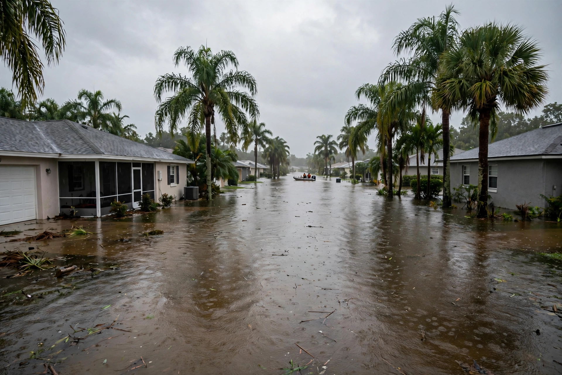
St. Johns River at Cocoa Holds at 16.9 Feet Into Its Major-Flood Weekend
November 7, 2026: sunny skies over Cocoa, a river holding a foot above flood stage, and the 17.2-foot home-entry line still ahead.
Published November 7, 2026 · WaterDamageEmergencyNow
Water damage in your home? Send this form.
A local crew gets it and calls you back.
Saturday Morning on the River
The St. Johns River near Cocoa is holding, not falling. On Saturday, November 7, 2026, the US Geological Survey gauge near Cocoa (02232400) read 16.92 feet, with the river flowing at 6,270 cubic feet per second and holding steady over the past 24 hours — under a blue sky, with Cocoa sunny and near 80 degrees.
The warning continues until further notice. The National Weather Service in Melbourne's flood warning, updated Friday evening, November 6, at 8:21 p.m., put the river at 16.9 feet at 7:15 p.m. Friday, in moderate flooding, with major flooding still forecast this weekend into early next week. The next statement was scheduled for Saturday at 11:30 a.m.
Flood stage near Cocoa is 16.0 feet; bankfull is 15.8. The river has now sat roughly a foot above flood stage while barely moving — the signature of a slow river draining a record rain.
The line that matters is still 17.2 feet. At that level, the weather service's impact statement says, water enters homes along the St. Johns in the Lake Poinsett area west of Cocoa, and low-lying homes in the Silver Pines subdivision in Rockledge and the Shakespeare Park area of Cocoa.
The source is a week old. This is Brevard County's November 1–2 record rain — up to 24 inches near Malabar and a Melbourne daily record of 11.04 inches — still working north down a river that drops only about 30 feet in roughly 300 miles.
The Rest of the River System, Saturday
Peace River at Arcadia: Friday evening the river stood at 16.2 feet at State Road 70, in major flood (flood stage 11.0 feet, major stage 16.0), after a 24-hour maximum of 16.5 feet, and was expected to fall to about 12.9 feet by Wednesday evening — still above flood stage.
St. Johns at Astor: 3.1 feet on Friday evening, in moderate flood above its 2.3-foot flood stage, expected to hold near 3.1 feet and climb to about 3.3 feet early next week.
St. Johns near DeLand: 3.9 feet on Friday evening, just below its 4.0-foot flood stage, forecast to rise above flood stage Saturday morning and reach about 4.5 feet by early Wednesday.
Above Lake Harney, near Geneva: about 9.0 feet in moderate flood on Friday, rising toward about 9.8 feet early next week; near Sanford, forecast to climb into minor flood early Sunday.
Read as one map, Florida's flood has fully changed shape: the rain emergency of last weekend is now a river emergency measured in feet and days, county by county, gauge by gauge.
What This Weekend Asks of Riverfront Homeowners
1. Do not let the sunshine grade the risk. Cocoa's forecast today is sunny. The gauge, not the sky, decides whether Lake Poinsett and Silver Pines take water this weekend.
2. Use the hold to prepare, not to relax. A river holding at 16.9 feet a foot from the home-entry level is giving you daylight hours: belongings up, cars out of low driveways, documents photographed.
3. Line up help before the crest. The Cocoa page carries the local directory for this stretch of river. What a flood that lasts days costs to dry is broken down in today's cost guide.
4. Never drive through river water. The warning runs until further notice, and low roads west of Cocoa go first.
Sources for this article: US Geological Survey gauge 02232400, St. Johns River near Cocoa, as reported November 7, 2026 (16.92 feet, 6,270 cfs, holding steady); National Weather Service Melbourne flood warning for the St. Johns River near Cocoa, updated November 6, 2026, 8:21 p.m. EST (stage, flood stage, bankfull, and the 17.2-foot impact statement; next statement Saturday 11:30 a.m.); National Weather Service Tampa Bay and Melbourne warnings for the Peace River at Arcadia and the St. Johns at Astor, DeLand, Geneva, and Sanford, November 6, 2026, as compiled November 7. River stages are preliminary gauge readings and forecasts change; the weather service's current warning is the controlling word.
Questions, Answered Straight
How high is the St. Johns River near Cocoa on November 7, 2026?
The US Geological Survey gauge near Cocoa read 16.92 feet on Saturday, November 7, 2026, flowing at 6,270 cubic feet per second and holding steady over the past 24 hours. Flood stage is 16.0 feet, and the National Weather Service forecasts major flooding this weekend into early next week.
What happens if the St. Johns near Cocoa reaches 17.2 feet?
According to the National Weather Service impact statement, at 17.2 feet water enters homes along the St. Johns River in the Lake Poinsett area west of Cocoa, and low-lying homes in the Silver Pines subdivision in Rockledge and the Shakespeare Park area of Cocoa.
Are other Florida rivers still flooding on November 7, 2026?
Yes. The Peace River at Arcadia stood at 16.2 feet in major flood on Friday evening, the St. Johns at Astor was in moderate flood at 3.1 feet, the St. Johns near DeLand was forecast to rise above flood stage Saturday morning, and the river above Lake Harney near Geneva was in moderate flood and rising.