Wednesday on the St. Johns: Cocoa Still Aims at the Home-Entry Line
November 11, 2026: Cocoa holds at 17.0 feet with the 17.2-foot crest still due this weekend, Astor steps down to minor, DeLand gets an end date, and the Peace River heads for a Friday exit.
Published November 11, 2026 · WaterDamageEmergencyNow
Wednesday Morning on the St. Johns: the Crest Is Still Coming
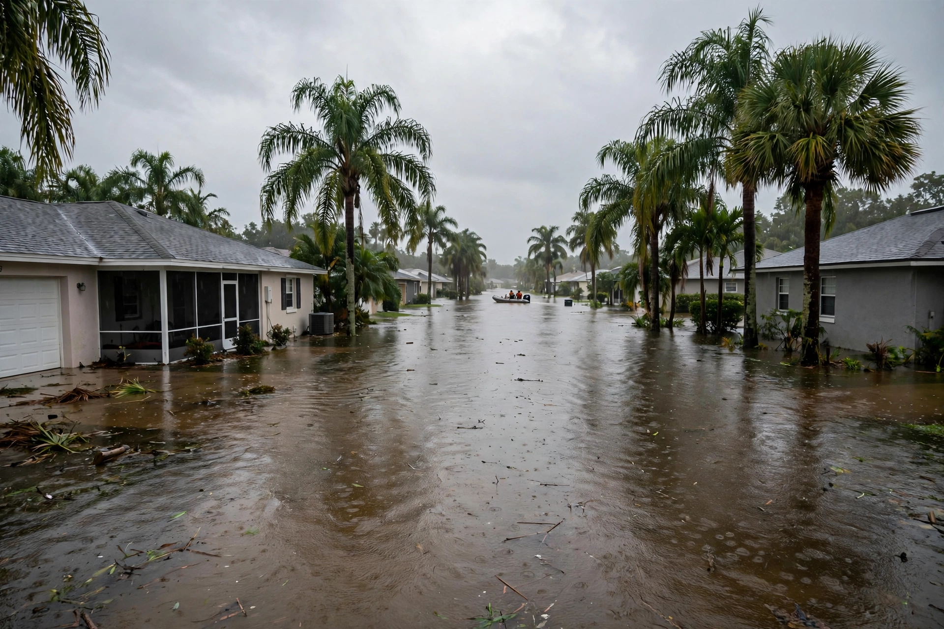
Day ten of the St. Johns River flood opens where day nine closed: major flooding west of Cocoa, and a weekend crest still aimed at the line where water enters homes. The National Weather Service in Melbourne's Wednesday morning statements put the river near Cocoa at 17.0 feet at 8:15 this morning — its major-flood threshold exactly — with the forecast unchanged: continue rising and crest at 17.2 feet this weekend. River flood warnings remain in effect for all five St. Johns forecast points: Cocoa, Geneva, Sanford, DeLand, and Astor.
- 17.2 feet remains the number that matters. At that stage, the weather service's impact statement says, water enters homes along the St. Johns in the Lake Poinsett area west of Cocoa and low-lying homes in the Silver Pines subdivision in Rockledge and the Shakespeare Park area of Cocoa, and the Providence Road area west of Cocoa becomes impassable, cutting off access to homes around Mullet Lane and Bass Road. One secondary report of the forecast specifies the crest early Saturday.
- Geneva holds in moderate flood. Above Lake Harney near Geneva, the river stood at 9.1 feet Wednesday morning, forecast to hold steady at 9.1 to 9.2 feet with a slow rise inside moderate flooding through the weekend. At 9.3 feet, many secondary roads flood near Lake Harney.
- Sanford's Friday crossing held. Near Sanford the river read 5.4 feet Wednesday, just below its 5.5-foot flood stage, forecast to rise into minor flood stage early Friday morning and linger near 5.5 feet into early next week, with additional rises possible thereafter. At 5.5 feet, water surrounds homes and covers driveways in the Stone Island area near Enterprise and enters yards in River Oaks Estates.
- A longer horizon, labelled as what it is: Seminole County emergency management, reported in the Florida press, expects the Lake Harney and Lake Monroe area crests may not arrive until November 20 to 23, with Lake Harney potentially rising above 10 feet into major flood stage and water possibly staying high into December. That is the county's horizon, distinct from the weather service's five-day forecast — both are printed here, each under its own name.
The Rest of the Country's Water, Wednesday
- The Pacific Northwest's atmospheric river is stalled, not finished. The stronger river that made landfall Tuesday is holding over the Washington and Oregon coast, with atmospheric-river conditions continuing into Thursday; the Center for Western Weather and Water Extremes rates it AR 4 over coastal Washington, with seven-day totals that may exceed 10 inches in the Olympic Mountains. Flood risk is still rated low — but three western Washington gauges now carry at least a 10 percent chance of minor flooding, up from one last week. The next two rivers in the train are due Friday and Saturday.
- Arizona is flooding by release, not by rain. Dam-release flood warnings are in effect on the Salt River below Granite Reef Dam, where the warning was scheduled to expire late Wednesday morning, and on the Gila River below Painted Rock Dam, where releases that began Tuesday morning carry a warning through November 17 for farmlands and low-water crossings.
- Texas's Devils River is the tail of last week's story: flood warnings there run through Wednesday afternoon and evening at the Cauthorn Ranch and Bakers Crossing gauges, with low crossings on Highway 163 flooded. In Georgia, McCaysville is on day seven with no Wednesday-dated update in the record we searched: as of the last reports, Monday, cleanup was underway, about 300 homes had been inspected with 100 to 150 awaiting inspection, and the town's water — back online since Sunday — remains flush-only, not safe to drink. The governor's emergency for Fannin, Gilmer, Murray, and Union counties expires Thursday night, November 12.
1. Lake Poinsett and Cocoa: the preparation window is the story. A weekend crest at the home-entry line, on a river that has already held major flood for days, is the exact scenario
today's cost guide prices: what each day of standing water does to the restoration bill.
2. Sanford and DeLand: Friday is the date, both ways. Sanford crosses into minor flood early Friday; DeLand crests at flood stage early Friday afternoon and is back below it by Sunday morning. Use the two days.
3. Arcadia: the exit is dated. Below flood stage Friday afternoon, 8.0 feet by Monday. The drying clock for homes that took Peace River water started days ago — the mold window does not wait for the warning to expire.
Sources for this article: National Weather Service Melbourne flood statements and forecast discussion, Wednesday, November 11, 2026 (St. Johns River near Cocoa: 17.0 feet at 8:15 a.m., major flooding, forecast crest 17.2 feet this weekend, 17.2-foot impact statement; above Lake Harney near Geneva: 9.1 feet, moderate, steady 9.1 to 9.2 feet; near Sanford: 5.4 feet, minor flood stage early Friday morning; near DeLand: 3.9 feet, crest 4.0 feet early Friday afternoon, below flood stage early Sunday morning; near Astor: 2.8 feet, minor flooding, steady 2.7 to 2.8 feet); National Weather Service Tampa Bay flood statement for the Peace River at Arcadia, 8:20 a.m. EST, November 11, 2026 (12.9 feet, minor flooding, warning until Friday evening, below flood stage early Friday afternoon, 8.0 feet Monday morning, 13.0-foot impact statement); Center for Western Weather and Water Extremes, AR Outlook, November 9, 2026 (the latest outlook available; second AR stalled over coastal Washington and Oregon into Thursday, AR 4 over coastal Washington, seven-day totals possibly exceeding 10 inches in the Olympic Mountains, three gauges at or above a 10 percent chance of minor flooding); National Weather Service Phoenix dam-release flood warnings (Salt River below Granite Reef Dam; Gila River below Painted Rock Dam, through November 17); National Weather Service Austin/San Antonio flood warnings for the Devils River (through Wednesday afternoon and evening); Storm Water Research Foundation flood-response page, updated November 9, 2026, and Focal News, November 8, 2026 (McCaysville status — no November 11 update found, and none is claimed); Florida Press reporting of Seminole County Emergency Management expectations (Lake Harney and Lake Monroe crests possibly November 20–23), labelled as the county horizon. River stages are gauge readings and forecasts change; the weather service's current warning is the controlling word.
Questions, Answered Straight
What is the St. Johns River near Cocoa doing on Wednesday, November 11, 2026?Holding in major flood with the crest still ahead. The National Weather Service Melbourne statement on Wednesday morning, November 11, 2026 put the St. Johns River near Cocoa at 17.0 feet, its major-flood threshold, and forecast the river to continue rising and crest at 17.2 feet this weekend. At 17.2 feet, the impact statement says, water enters homes in the Lake Poinsett area west of Cocoa and in Rockledge's Silver Pines subdivision and Cocoa's Shakespeare Park area.
Did any St. Johns River forecast point improve on November 11, 2026?Yes, two. Near Astor, Wednesday morning's statement downgraded the flooding to minor, with the river at 2.8 feet and expected to hold at 2.7 to 2.8 feet into the weekend - Tuesday evening had it near moderate flood stage. Near DeLand, the river is now forecast to crest at exactly its 4.0-foot flood stage early Friday afternoon and fall below flood stage early Sunday morning, and its warning now carries that Sunday end time.
What is the Peace River at Arcadia doing on November 11, 2026?Falling out of the flood. The National Weather Service Tampa Bay statement on Wednesday, November 11, 2026 put the Peace River at Arcadia at 12.9 feet in minor flooding, with the warning in effect until Friday evening. The river is expected to fall below its 11.0-foot flood stage early Friday afternoon and reach 8.0 feet Monday morning.
Standing in Water Right Now?
Every hour raises the bill. Send the form and a coordinator calls you back within minutes — a real person, 24/7.
Water damage in your home? Send this form.
A local crew gets it and calls you back.